| 刘先林揭秘先进测绘技术“惯导技术” | |
| 作者:成都新瑞测绘 来源:人民网 浏览:1171次 更新:2009/10/14 8:52:58 | |
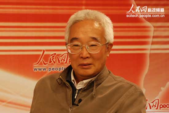
作者:赵竹青
什么是国际上先进的测绘技术?中国工程院院士刘先林今日做客人民网访谈时表示,先进的测绘技术是把现有的尖端传感器都用上,特别是将最先进的“惯导技术”应用于测绘而实现“无控制”测绘。刘先林表示,我国在这方面相对而言比较先进,有很多设备都实现了国产化。
What is the international advanced mapping technology? Chinese Academy of Engineering, Xian-Lin Liu, said today's interview guest People's Network, advanced mapping technology is to the current cutting-edge sensors using the term, especially in the most advanced "inertial navigation technology" used in surveying and mapping and the realization of "no control" Surveying and Mapping. Xian-Lin Liu said, China in this regard is relatively advanced, there are many devices are achieved domestically. Xian-Lin Liu introduced international advanced mapping technology is to the current, contemporary, cutting-edge sensors using the term, to build a new mapping equipment, or system is not an isolated use of individual sensors, but also the whole must spend , especially the "inertial navigation technology" used in the surveying and mapping, there are many benefits to the contemporary world's most advanced surveying and mapping equipment ideas. With this apparatus the future, they can achieve the so-called uncontrolled mapping, only need to aircraft, satellites flying in the sky, it can be very precise topographic map, without the need for people to establish some signs above, this is the most advanced surveying and mapping technology, known as the "DR", a direct orientation. Xian-Lin Liu concluded, contemporary mapping techniques is to combine the technology of other industries, such as the missiles used in IMU inertial navigation system, as well as digital cameras, as well as the GPS receiver, as well as satellite technology, using the term, we can achieve fast , and there is no ground control, there is no work on the ground as a mapping tool. "We have countries in this area is still relatively advanced." Xian-Lin Liu said, "For example, in some areas of China's Tibet mapping team to reach difficult, needs to be done very small amount of control, we used DR technology, without ground control to conduct surveying and mapping technology , the satellite data, laser mapping, IMU inertial navigation system and a digital camera, all should be used. It can be said in this regard is quite advanced, there are many devices have achieved localization, all have independent intellectual property products. Only the individual devices in the development of being. " | |
|
上一个:国家公务员职位:国家土地督察局 下一个:石家庄市测绘院在全国首届测绘职业技能竞赛中再取佳绩 | |
 返回列表 | 返回列表 | |